Please help the next visitor by writing a few lines about the beach, are there toilets? Is it shallow? Is there a jetty or maybe a kiosk?
Beaches close to Brittas Bay South
Brittas Bay North Beach is a vast expanse of gently sloping sandy coastline that extends for an extended length. The beach's natural landscape consists of hilly sand dunes that harbor and promote the growth and preservation of two protected plant species. The beach terrain creates shallow water sills, causing gradual water depth decline, with sandbars commonly visible. Additionally, Brittas Bay North Beach is a suitable location for water sport activities comprising surfing, windsurfing, canoeing, and snorkeling.
Silver Strand is a gently sloping sandy beach, occasionally rough due to its exposure. It is situated 1.2km north of the Wicklow Head SPA and Wicklow Reef SAC. The beach is divided at high tide and only accessible through the adjacent caravan parks.
Arklow South Beach in Arklow Town is a sandy beach lined with rocks.
Wicklow Harbour houses a calm bathing spot with a smooth, gravelly beach and nearby parking. In the summer, there is a floating platform available.
The Arklow Rock beach is a small, sandy shore, protected by rock armour and a breakwater to the north. It is submerged during high tide and can only be accessed at one's own risk via a steep and uneven track located at the end of the breakwater. This path requires surefootedness.
This beach can be reached via the Murrough Car Park, near the port access bridge at the north end of Wicklow town. It is a long, gravel beach that can drop off sharply. The beach is only a brief two-minute walk from the car park.
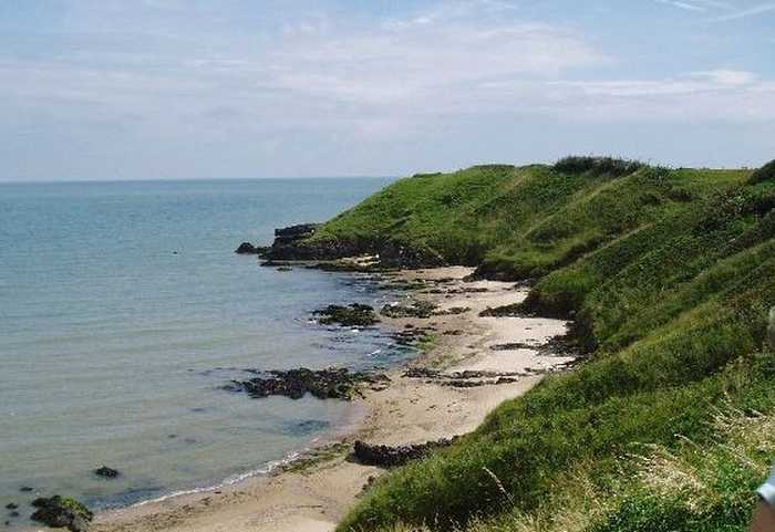
Clogga Beach is a sandy beach that is bordered by cliffs and rocks, leading to shallow and crystal-clear waters. The cliffs and Arklow Rock support nesting birds and are part of the proposed Natural Heritage Area (pNHA001745) known as Arklow Rock-Askintinny.
Ballymoney North beach is a tranquil rural area with soft-medium sand and gentle slope. Offshore deposition forms sand-banks that protect the beach. Sand dunes stretch 50-100m westward, part of the Natural Heritage Area, favored for fishing. The bathing zone extends about 300m and occupies 0.06 km².
Kilcoole Beach can be accessed by Sea Road to the east of Kilcoole. This expansive shoreline is composed of gravel.
Courtown North beach is an urban fine-sand beach with gentle slopes and backed by well-vegetated dunes. The beach has a viewing area and a designated spot for jet skis. It is also used by a limited number of surfers, windsurfers, and canoeists. The bathing area spans 0.5 km in length and covers approximately 0.1 km². There is no significant vegetation growing in the waters off the beach.