Please help the next visitor by writing a few lines about the beach, are there toilets? Is it shallow? Is there a jetty or maybe a kiosk?
Beaches close to Culletons Gap
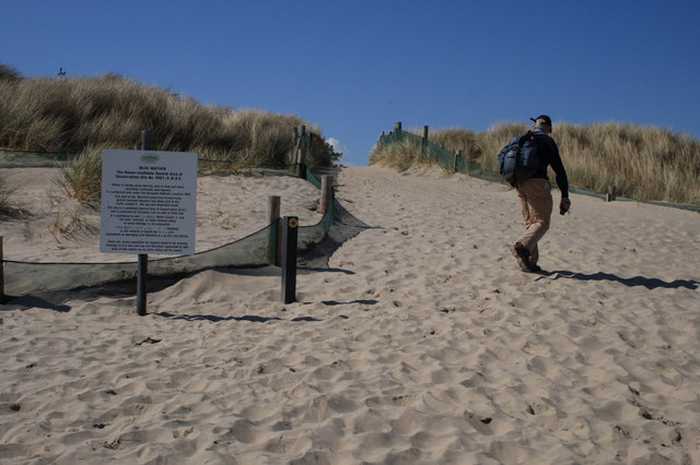
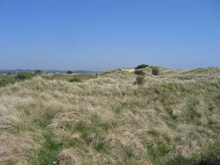
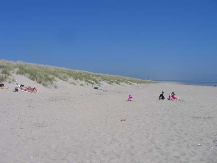
Curracloe is a serene, rural beach with fine, soft, wind-blown sand and gentle slopes. It features wooden walkways that sometimes get covered by sand. Its sand dunes extend between 100m to 300m westward, while also being part of The Raven Special Protection Area that's crucial for bird conservation and is included in the Wexford Slobs and Harbour complex. It's a popular fishing spot and is sometimes used by a small number of surfers, windsurfers, and canoeists. The bathing area extends about 1 km in length and covers 0.2km².
Ballinesker is a serene rural beach with fine soft sand and a gentle slope. Wooden walkways may be covered with sand due to the wind. The beach is protected by sand-banks and sand dunes extend up to 70m behind the beach. However, there is no significant vegetation growth in the waters near the beach. It's popular for fishing and used by few surfers, windsurfers, and canoeists. The bathing area spans around 1 km with an area of 0.2 km².
Rosslare Strand is an urban beach with fine, soft, windblown sand and a gentle slope. The sand dunes to the west are narrow and vegetation is scarce in the waters. The Wexford Wildfowl Reserve is located nearby, offering stunning views of the southeast coast of Ireland. The beach is a popular fishing spot, as well as a limited area for surfing, windsurfing, and canoeing. The bathing area spans 0.5 km and covers 0.1 km².
St. Helens Bay Beach, located south of Rosslare Euro Port, is a tranquil and sheltered beach. There is convenient car parking available directly beside the beach.
Morriscastle beach is a serene and rural sandy beach with soft, wind-blown sand and a gentle slope. Behind the beach, the sand dunes stretch up to 100m westward. The bathing area, which spans 1.0 km in length and 0.2km² in area, falls within the conservation region of Kilmuckridge-Tinaberna sand hills, which supports unique dune habitats and thus designates Morriscastle beach as an SAC. There is no significant vegetation in the water near the beach.
Carne is a sandy beach located near Carne pier, facing east towards the Irish Sea with a dune system situated to its west.
Old Bawn Beach is a 3km long sandy coastline located in County Wexford, 5km southeast of Ballygarrett village. It is part of the Cahore Polders and Dunes National Heritage Area and faces east towards the Irish Sea, with a line of sand dunes on its western border.
Located adjacent to the rural village of Cahore, in Co. Wexford, Cahore Beach is a pebbled beach stretching for approximately 500m. It offers stunning views of the Irish Sea and is complemented by a pier and a car park for visitors' convenience.
Ballyhealy beach is a shallow sandy beach located towards the east of Kilmore Quay in Co. Wexford.
Kilmore Quay village has a small southerly-facing beach located just east of the fishing harbor within the Saltee Islands SAC.