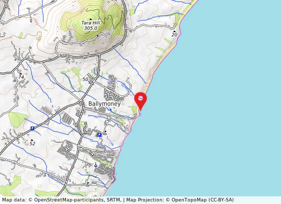
Ballymoney, North Beach
- Water temp(satellite):
- 9.1°C
- 2026-03-25
Ballymoney, North Beach is a beach in the county of Wexford. During the bathing season, a life guard is on duty. The beach is equipped with toilets and a parking lot. Dogs must be kept on a leash.
Ballymoney North beach is a tranquil rural area with soft-medium sand and gentle slope. Offshore deposition forms sand-banks that protect the beach. Sand dunes stretch 50-100m westward, part of the Natural Heritage Area, favored for fishing. The bathing zone extends about 300m and occupies 0.06 km².
Activities;Ballymoney beaches are also a popular fishing spot. Spring and autumn nights are the best time to catch bass, smoothhound, flounder, codling, whiting and dogfish. Facilities;Informal Public car parking is provided at the beach car park and on road parking all the way back to Ballymoney village on the access road. There are no designated disabled parking spaces at the beach. Access from here to the beach is by pathway which can be difficult for wheelchair users. Sand type is medium hardness. There is no designated viewing area. Male and Female Toilets available, no specific accessible toilets. Open long weekends Easter & May. Full time June, July & August. 24 hours 7 days/week. Life guards are on duty on site during summer months.
Location;Ballymoney North Beach is a very popular local beach and is located approximately 1.5 km to the east of Ballymoney village. Lifeguard station and public toilets are provided at the beach. Ballymoney village is on the Courtown to Castletown road, the village itself is no more than a post office, but it offers an impressive range of facilities including the lovely beach with public amenities, golf courses, pitch and putt, craft shops and pubs. There are two beaches at Ballymoney, i. e. Ballymoney North Beach and Ballymoney South Beach. The south beach can be a quiet get-away from its northern neighbour but it is not suitable for bathing. It has rocks and sand for sunbathing. Extent;The bathing area is approximately 300m long. The bathing water is approximately 0.06 km2 in area.
;Ballymoney Beach is a safe rural peaceful beach. The sand type is medium hardness. Deposition offshore into a series of sand-banks offers protection to the beach.