Please help the next visitor by writing a few lines about the beach, are there toilets? Is it shallow? Is there a jetty or maybe a kiosk?
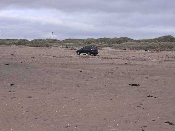
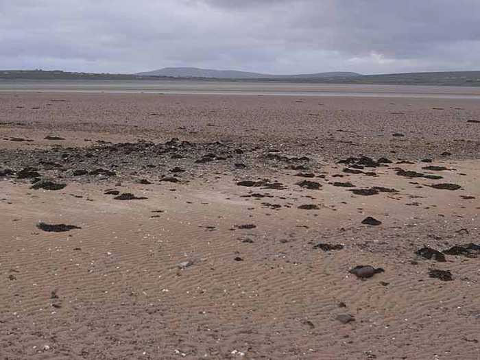
Beaches close to Srah Beach
Elly Bay is a sandy beach with sand dunes, dune grassland, and machair. It is home to various wildlife and plant species, particularly birds, and is classified as a Special Area of Conservation (SAC)/proposed Natural Heritage Area (pNHA) and SPA. It is also part of the Mayo Gaeltacht and Blacksod Bay Designated Shellfish Waters. The beach is primarily for swimming, with a designated area of 1.2km wide and a bathing water area of 0.42km2 with varying water depths up to 5.0m depending on the tides.
Mullaghroe Beach, found on the Mullett Peninsula, is an exposed sandy beach with a diverse range of marine habitats, including a vast sand dune system, dune grassland, and machair, which support an array of plant and wildlife species, particularly birds and plants. The Mayo Gaeltacht's special area of conservation/proposed Natural Heritage Areas, Mullet/Blacksod Bay Complex (Site Code 000470) and Blacksod Bay/Broadhaven (Site Code 004037) SPA, cover this location, which is also a designated shellfish water and fishing spot. The bathing area spans approximately 0.870km wide, with the bathing water covering an area of about 0.32km2. Depending on the tide, the water depth can range from 0.5m to 5.0m at the designated bathing water.
Cross Beach is a vast sandy beach situated on the west coast of Mullet Peninsula, offering stunning views of Inis Gé and Inis Glora islands. The beach is a convenient 10-minute drive from Belmullet town, and the Cross Loop Walk allows you to explore the beach and the neighboring Cross lake.
Termon Beach, situated on the East of Blacksod Mullet Peninsula and half a kilometer south of Aghleam village in Co Mayo, is a small, sheltered, and sandy beach. It has significant ecological importance serving as part of the Blacksod Bay Broadhaven Special Protection Area (SPA), the Mullet Blacksod Bay Complex candidate Special Area of Conservation (cSAC), and the Mullet Blacksod proposed National Heritage Area (pNHA).
Rinroe is a sandy beach surrounded by sand dunes with stunning coastal scenery at Benwee Head. The location is rich in Irish history, culture, and folklore. Swimming is its main recreational activity, with a designated bathing area 300m wide and a water area of approximately 180km². The water depth ranges from 0.5m-5.0m depending on the tides.
Golden Strand is a beach that features a gently sloping sand dune along its headlands. The area is diverse with habitats including a machair site and two lakes, which support rare vegetation and provide an important sanctuary for birds. The beach is part of three protected areas: Doogort Machair/Lough Doo SAC/ pNHA, Croaghaun/Slievemore SAC/pNHA and Keel Machair/Menaun Cliffs SAC/pNHA. Visitors can enjoy water sports like surfing, windsurfing, and canoeing. The designated bathing area is 0.88km wide and the water covers an area of 0.51km2 with depths ranging between 0.5m and 5.0m depending on tides.
Silver Strand is a small beach situated about 3 Km east of Doogort village in Achill Island, with a designated bathing area spanning 150m at its west end. The beach stretches over 500m and faces north, bordered by a road leading to Seal Caves on the west and a low headland on the east. The beach is separated from the public road by a spacious grassy area and sand dunes. The bathing area is 2.25km wide and the water covers approximately 0.78km2.
Portacloy Beach is a stunning sandy beach near Carrowteige in North Mayo and is a component of the Glenamoy Bog Complex Special Area of Conservation (SAC).
Keel Beach is a sandy beach that is open to the south and can experience strong currents and rip tides. It also features scattered shingle and rocky outcrops that can be submerged during high tide. The beach is home to a variety of plant and wildlife species due to its sand dune and machair habitats. Keel Beach is part of the Achill Head and Keel Machair/Menaun Cliffs SACs, and offers various activities such as surfing, swimming, sailing, fishing, scuba-diving / snorkelling, canoeing, water skiing, and jet skiing. Its designated bathing water has a medium and maximum depth of 0.5m and 5.0m respectively, depending on tide. The beach spans approximately 1.5km2.
Keem Beach is a sheltered sandy beach with steep gradient located in Croaghan/Slievemore and Achill Head SAC. It is home to a variety of plant, animal, and bird species and offers activities such as swimming, surfing, and fishing. The designated bathing area spans approximately 0.14km2 with medium and maximum water depths of 0.5m and 5.0m respectively, depending on tide.