Please help the next visitor by writing a few lines about the beach, are there toilets? Is it shallow? Is there a jetty or maybe a kiosk?
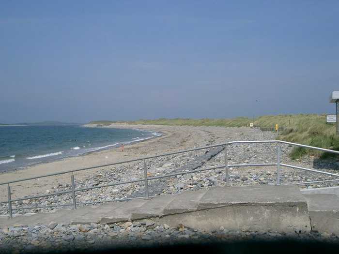
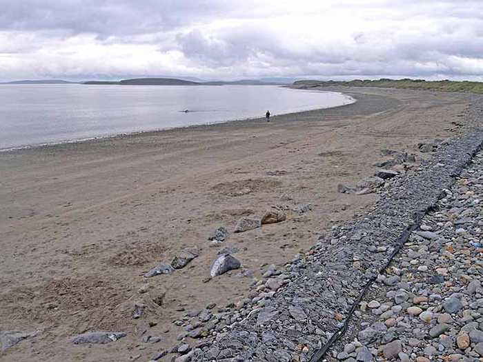
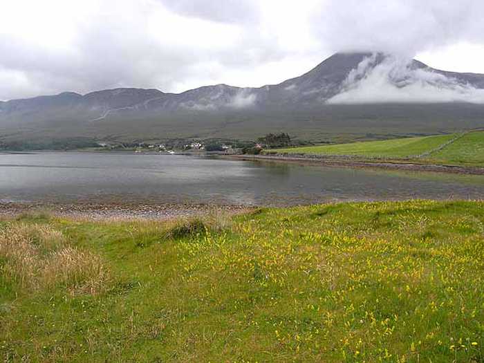
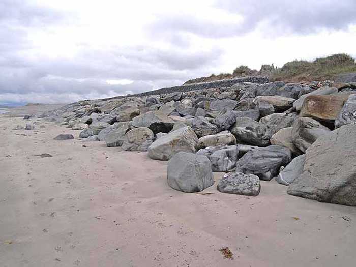
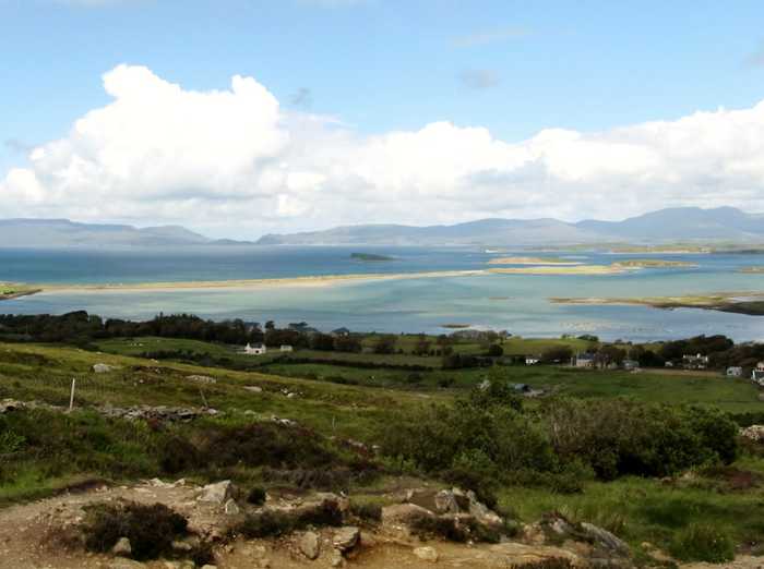
Beaches close to Bertra Beach, Murrisk
Old Head Beach is a sheltered and sandy beach, backed by rocky cliffs and surrounded by Old Head woodland. The beach is located next to the Old Head SAC/pNHA, which is an extreme development of Atlantic oakwood habitat directly adjacent to the coast. Pilgrimages take place at Croagh Patrick, which is nearby. Old Head Beach offers various activities such as swimming, surfing, water skiing, jet skiing, scuba-diving/snorkelling and fishing. The bathing water area is approximately 0.3km2 and the water depth varies from 0.5m to 5.0m depending on tides.
Carrowmore Beach is a beautiful sandy area that includes sandy dune towards the east. However, swimming is restricted in the eastern part of the beach, near Bunowen River and Tulin Beach. Carrowmore Strand is a part of the proposed National Heritage Area and offers activities like surfing, windsurfing, fishing, and more. The bathing area is around 0.3km2 and the water depth varies between 0.5m to 5.0m with tides.
Mulranny Beach, located southwest of Mulranny village, is a popular sandy beach that boasts a strand of Mediterranean heath and features machair sand plains and saltmarsh. The saltmarsh houses a variety of flora and fauna, including flowering plants and birds. The site is home to three areas of conservation and protection, including Owenduff/Nephin Complex, Corraun Plateau, and Clew Bay Complex. Additionally, there is one Special Protection Area for Birds, Owenduff/Nephin Complex. The beach itself is 400 metres long with a bathing area that is approximately 0.37km wide and the bathing water covers an area of about 0.12km2. The depth of the water ranges from 0.5m to 5.0m depending on the tides.
Carrowniskey Beach is a vast sandy area with a gentle slope towards the west. This beach is vulnerable to strong currents and rip tides due to its exposed location. It is home to various environments such as sand hills, machair, lagoon-like lakes, and their connected channels. In particular, the Lagoon habitat is of utmost ecological significance. Carrowniskey Beach is part of the Lough Cahasy, Lough Baun, and Roonah Lough Special Area of Conservation (cSAC) and proposed National Heritage Area (pNHA) with Site Code 001529. The bathing space covers approximately 0.8km2 while the beach stretches approximately 1.7km. The designated bathing area's water depth ranges from 0.5m to 5.0m based on tidal movements.
Clare Island Beach stretches from the old pier on the south to the stony shoreline on the north by the Community Centre, with submerged rocks in the northern end. Its proximity to the main harbour results in nearby homes and businesses. The sea cliffs of the northwest, north, west, and south coastline are in Clare Island Cliffs cSAC and pNHA (Site Code 002243). Clare Island also has numerous historical sites to explore. Activities such as swimming, sailing, canoeing, scuba-diving/snorkelling, and fishing are popular.
Glassilaun, a protected landscape, is a picturesque 600m long sandy beach located between Killary (Little) and Renvyle bays. It is ideal for swimming, snorkelling, and walking. Tullycross, the nearest village, is roughly 6km southwest of the beach.
Dooega Beach, a small crescent shaped cove, is mostly sheltered except towards the south where large swells arise at the eastern rocky outcrop. It lies between the steeply sloping hills of Knockmore (at 337m) and the Menaun Cliffs (at 464m) on either side of Camport Bay. The beach is included in the Keel Machair/Menaun Cliffs SAC (Site Code 001513) and offers activities such as surfing, fishing, and canoeing. With a designated bathing area of 0.06km2, the water depth ranges from 0.5m to 5.0m depending on the tides.
Renvyle, also called White Strand or Trá Bán, is a stunning sandy beach in Co Galway, facing north. The area boasts a machair and dune system with marram grass on the upper shore leading down to a white sandy beach. Accessed easily via the local road L1101, the beach is a safe swimming spot and is a vital environmental, educational, cultural, and bio-diverse resource that offers habitat to a diverse range of protected flora and fauna, marine life, and plants. Tullycross, the nearest town/village, is located 1.5km away in a southeasterly direction, with access via the L51023-0 local road. This beautiful beach spans over 700m in length.
Tránaun Beach, located on Inishturk's south-east coast, is a beautiful and secluded beach nestled in a protected cove. It offers breathtaking views of Mayo and Connemara's mountains and is conveniently located within a short walk from Inishturk Community Centre.
Golden Strand is a beach that features a gently sloping sand dune along its headlands. The area is diverse with habitats including a machair site and two lakes, which support rare vegetation and provide an important sanctuary for birds. The beach is part of three protected areas: Doogort Machair/Lough Doo SAC/ pNHA, Croaghaun/Slievemore SAC/pNHA and Keel Machair/Menaun Cliffs SAC/pNHA. Visitors can enjoy water sports like surfing, windsurfing, and canoeing. The designated bathing area is 0.88km wide and the water covers an area of 0.51km2 with depths ranging between 0.5m and 5.0m depending on tides.