Please help the next visitor by writing a few lines about the beach, are there toilets? Is it shallow? Is there a jetty or maybe a kiosk?
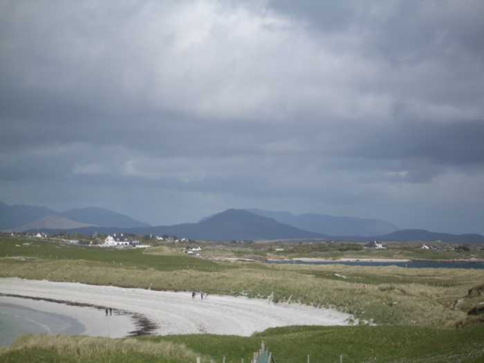
Beaches close to Goirtín, Cloch na Rón
Dog's Bay in Co Galway is a popular destination for summer holidaymakers due to its naturally protected horseshoe-shaped stretch of white sandy beach, which is over a mile long. It is located near Roundstone village and boasts of rare and interesting ecological, geological, and archaeological features. The sand at Dog's Bay is unique as it was formed from the shells of tiny sea creatures called foraminifera, and the grasslands here are considered rare, comprising of machair vegetation and found only on the west coast of Ireland and Scotland.
Mannin Bay, southwest of Clifden, boasts a roadside beach accessed from the small parking area. The beach's sand consists of coralline seaweed and the remains of barnacles, mollusks, and sponges.
Clifden Beach, near Clifden Town, is a small, secluded sandy beach situated on Clifden Bay, 78kms west of Galway City. Accessible via "The Beach Road," adjacent to Clifden Boat Club and the RNLI Station, the bathing area is separated from a rocky shore and mooring facility by a grassy headland. Visitors can enjoy a tranquil seating area with views of the rocky shore.
Aillebrack/Silverhill is a stunning sandy beach situated on the Ballyconneely Peninsula in County Galway. It can be easily reached via local road L1106, located about 5 km west of Ballyconneely village. The area boasts several sandy strands and rocky headlands, facing primarily southwards. The longest strand stretches for approximately 340m. A golf course can be found to the north, while a caravan and camping site is situated to the west. A Green Coast Award has been granted to the beach for many years, highlighting its exceptional water quality and the community's efforts in managing the area.
Trá Chaladh Fínis is a charming rural beach that offers stunning views of Finish Island. It features diverse vegetation and presents an array of bird species. Additionally, you may spot some aquatic animals, such as seals and otters, near the shore. Popular activities at the 400-meter-long beach include swimming, bathing, and surfing.
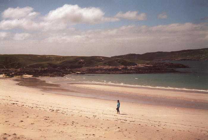
Omey Island, a sheltered landmass of about 1 sq. mile, can be reached via Connemara's only subsea road, situated roughly 600 meters offshore from the village of Claddaghduff. Predominantly covered by wind-blown sandy soils, the island boasts an enchanting beach at its northern edge, where one can witness the Atlantic surf rolling and dolphins and choughs frolicking. The island also has an early Christian monastic site. Besides, its core is occupied by Fahy Lough, known for its swans, ducks, brown trout, and the occasional pair of otters.
Trá Mór is a sheltered sandy beach facing east, situated on Garumna island in south Conamara between Carraveg and Greatman's bays. The rocky shoreline has several small cove-like beaches along its length. The beach is around 7 km south of Beál an Daingin and accessible via the L52323-0 local road. It falls within the Kilkieran Bay and islands protected area.
Renvyle, also called White Strand or Trá Bán, is a stunning sandy beach in Co Galway, facing north. The area boasts a machair and dune system with marram grass on the upper shore leading down to a white sandy beach. Accessed easily via the local road L1101, the beach is a safe swimming spot and is a vital environmental, educational, cultural, and bio-diverse resource that offers habitat to a diverse range of protected flora and fauna, marine life, and plants. Tullycross, the nearest town/village, is located 1.5km away in a southeasterly direction, with access via the L51023-0 local road. This beautiful beach spans over 700m in length.
Trá an Dóilín is a unique Irish beach made up of fragments of "maerl", a calcareous seaweed. It is a rare site to find this type of material on a beach. The beach is exposed and can experience powerful waves. Along with the beach, there are various habitats including rock pools, reefs, rocky outcrops, and a freshwater lagoon that are home to a diverse range of plant, animal, and bird species. As a result, it is a popular location for snorkeling and diving.
Glassilaun, a protected landscape, is a picturesque 600m long sandy beach located between Killary (Little) and Renvyle bays. It is ideal for swimming, snorkelling, and walking. Tullycross, the nearest village, is roughly 6km southwest of the beach.