John Cooney
Photo: John Cooney CC BY-SA 2.0

Loughshinny Beach

Rating: 0.0/5 (0 votes)

  • Water temp(satellite):
  • 13.1°C
  • 2024-10-14

Loughshinny Beach is located in the county of Dublin. There are toilets and a parking spot nearby. Dogs aren't permitted on the premises.
Loughshinny Beach is a small, sheltered sandy cove that gently slopes down. It is located in close proximity to Loughshinny harbour, which is a bustling fishing hub situated to the east of the beach.
Swimming– Canoeing – Power Boating– Fishing – Horse riding– Dog walking. The Millennium Walk route begins in Loughshinny with places of historic interest. Map 1: Bathing Water Location & Extent
LoughshinnyBeach is located 30.5km from Dublin City Centre, Fingal, North Co. Dublin. Loughshinny is a small seaside village. Loughshinny Beach is a 0.2km long sandy beach and approx. 0.03 km2 in area

Weather forecast
Loughshinny Beach on the map
Report water temp:

Photos near Loughshinny Beach

jai
Photo: jai CC BY-SA 2.0
jai
Photo: jai CC BY-SA 2.0
jai
Photo: jai CC BY-SA 2.0
Colm O hAonghusa
Photo: Colm O hAonghusa CC BY-SA 2.0
Do you have a nice picture from Loughshinny Beach?
By uploading an image, you certify that you own the image and that it may be displayed on beachguideireland.com

Reviews of Loughshinny Beach

No reviews of Loughshinny Beach yet...
Please help the next visitor by writing a few lines about the beach, are there toilets? Is it shallow? Is there a jetty or maybe a kiosk?
What do you think of the beach?

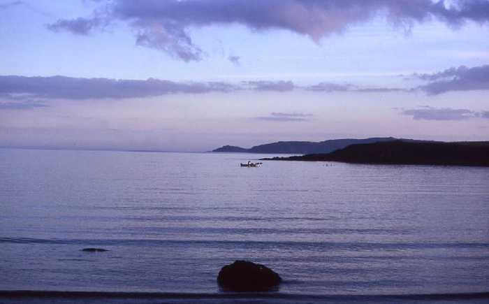
Beaches close to Loughshinny Beach

Rush North Beach ⟼ 2.2 km away
Rush North Beach is a sandy beach with a large dune area at the back, gently sloping and bordered by Rush Harbour on the South and a rocky headland on the North.
Rush, South Beach ⟼ 3.6 km away
South Beach Rush is a sandy beach with a sloping landscape and a large sandy dune area in the rear. The beach is partially sheltered by a rocky headland to the North.
Skerries, South Beach ⟼ 4.3 km away
Skerries South Beach is a lengthy sandy shore that gradually slopes towards the sea. The beach's northern edge is demarcated by the Red Island headland rocks.
Portrane, the Brook Beach ⟼ 5.9 km away
Portrane Brook Beach is a sandy beach on the seaward side of the Portrane Peninsula, with a gradual slope. It extends to the north, becoming Burrow Beach where sandy dunes can be found. However, strong currents are present at the northern end of the beach.
Donabate, Balcarrick Beach ⟼ 8.1 km away
Donabate Balcarrick beach is a gently sloping and spacious sandy beach that faces south-east, and is surrounded by a large sandy dune area.
Balbriggan, Front Strand Beach ⟼ 10 km away
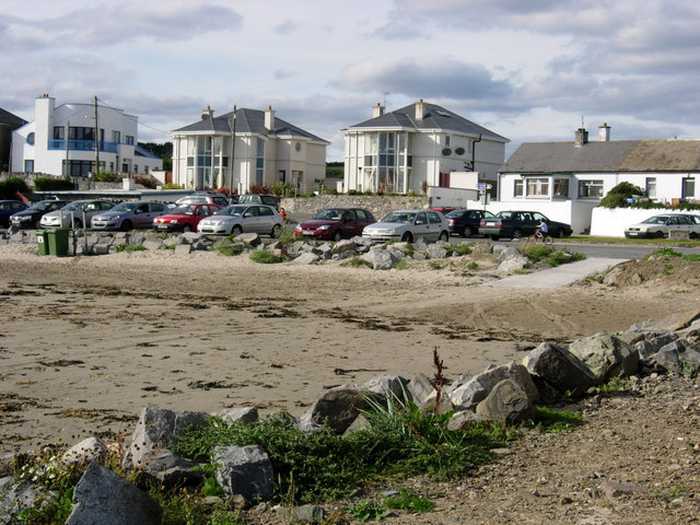
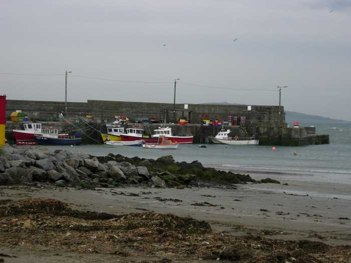
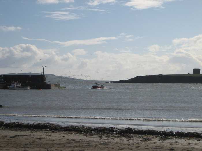
Balbriggan Front Beach is a compact sandy beach that is adjacent to a functioning harbor.
Portmarnock, Velvet Strand Beach ⟼ 12.9 km away
Velvet Strand Beach is an east-facing, gently sloping beach with a long, open stretch. Behind the beach are dunes.
Sutton, Burrow Beach ⟼ 17 km away
Burrow Beach is a north-facing, gentle-sloping sandy beach located near Baldoyle Estuary, which is a significant wildlife habitat.
Claremont Beach ⟼ 17.3 km away
Howth's Claremont Beach is a gently sloping northward facing sandy beach.
Laytown/Bettystown ⟼ 20 km away
Laytown/Bettystown is a stunning beach with fine sand and sand dunes that is home to a links golf course. The area to the north is a Special Area of Conservation (SAC site code 001957), known as the Boyne Coast and Estuary, while the south is a designated Special Protected Area (SPA site code 004158), specifically the River Nanny Estuary and Shore. Visitors can partake in a variety of beach activities, including sandsculpting and kitesurfing, and Laytown/Bettystown has also hosted the National Sand Sculpting and Sandcastle Competition. An annual event, the Laytown Strand Race, takes place on the beach, which has a bathing area approximately 1.5 km long and 0.6 km2 in size.
Beach Guide Ireland Source for water samples and information: the Environmental Protection Agency, users of the site and local municipalities.
Source for weather data: Met Éireann© (CC BY 4.0) Disclaimer: Met Éireann does not accept any liability whatsoever for any error or omission in the data, their availability, or for any loss or damage arising from their use.
Source of satellite-read water temperature: Copernicus Sentinel satellite data from the European Space Agency.