Please help the next visitor by writing a few lines about the beach, are there toilets? Is it shallow? Is there a jetty or maybe a kiosk?
Beaches close to Oysterhaven
Rocky Bay Beach, situated in Carrigaline, Co Cork is a 300m long, south-facing sandy beach. Access to the beach is through a narrow local road with limited parking available.
Garrylucas beach has a gentle slope and is surrounded by rocky cliffs. It faces southwest and is often exposed to harsh weather and rough seas. Sand dunes and the proposed Garrylucas Marsh Natural Heritage Area (pNHA 000087) are located to the north. The beach is utilized by anglers, walkers, surfers, and windsurfers.
Garrettstown Beach, a sandy beach with gentle slope, faces south and is bordered by rocky cliffs. The beach area is surrounded by Natural Heritage Area, Special Protection Area, and Special Areas of Conservation, though not a part of them. Despite being susceptible to rough weather, the beach draws anglers, walkers, surfers, and windsurfers to the area. Garrettstown Marsh lies north of the beach.
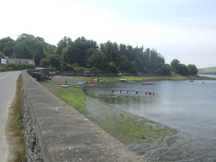
Fountainstown Beach slopes gently towards the east and consists of sand and shingle. The beach is flanked by a low rocky cliff to the north and rocky outcrops to the south. A concrete wall, along with a car park, borders the beach from the west. Fountainstown Swamp, a proposed Natural Heritage Area, is located north of the beach. The beach is primarily used for windsurfing and fishing.
Coolmaine Beach is currently closed for all aquatic activities due to dangerous currents resulting from storm damage. The beach is gently sloping and sandy, with a low rocky cliff to the south and rocky outcrops to the north. There are occasional accumulations of sea lettuce from the Argideen/Courtmacsherry Estuary, Garranefeen Strand and Coolmaine Bay. This beach is situated within the Courtmacsherry Bay Special Protection Area, Courtmacsherry Estuary Special Area of Conservation and proposed Natural Heritage Area. Although the beach is utilized by anglers, it is presently unsafe for swimming or any other aquatic activity.
Inch Strand is a sandy beach situated near Whitegate & Power Head, East Cork, and is a favourite spot for surfers. Visitors are reminded to follow the leave no trace principles and carry out any rubbish they create.
Inchydoney East is a south-facing sandy beach with a 500m long bathing area and approximately 0.12km² of water for swimming.
Inchydoney West Beach is a south facing, sandy beach located at the north east of Clonakilty Bay. It has gently sloping terrain and is prone to rough weather. The beach is backed by sand dunes and occasionally experiences large accumulations of sea lettuce. Muckruss Strand, a tidal lagoon and sand flats, is situated to the west of the beach. Inchydoney beach is a part of the Clonakilty Bay Special Area of Conservation and is also considered a proposed NHA (site code 000091).
Ardnahinch Beach is situated near Shanagarry in Co Cork, offering stunning views of Ballycotton and the Island lighthouse. At low tide, the beach is expansive, but it becomes a narrow strip of sand during high tide. The beach is a part of an SPA and is a noteworthy location for bird watching. As per 'leave no trace principles,' bins are unavailable.
Garryvoe beach is a gently sloping, sandy/pebble beach on a long stretch of coast. It faces south-east but is vulnerable to rough weather and seas. Sand dunes lie to the west. The beach sits in the proposed Natural Heritage Area and the Special Protection Area within Ballycotton Bay. Visitors enjoy anglers, walkers, surfers, and windsurfers.