Owenahincha, Little Island Strand
- Water temp(satellite):
- 10.7°C
- 2025-04-22
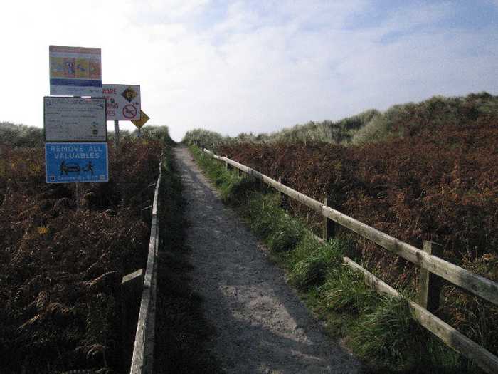
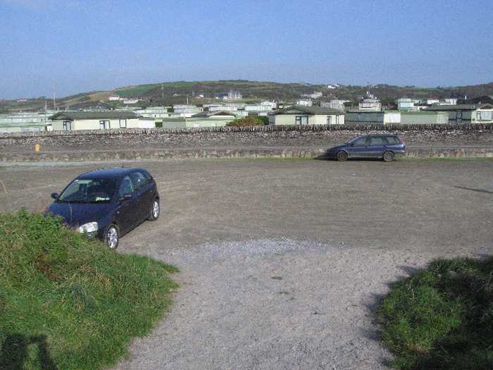
Owenahincha, Little Island Strand is a beach in the county of Cork. During the bathing season, a life guard is on duty. Toilets and parking lot near the beach. Dogs must be kept on a leash at all times.
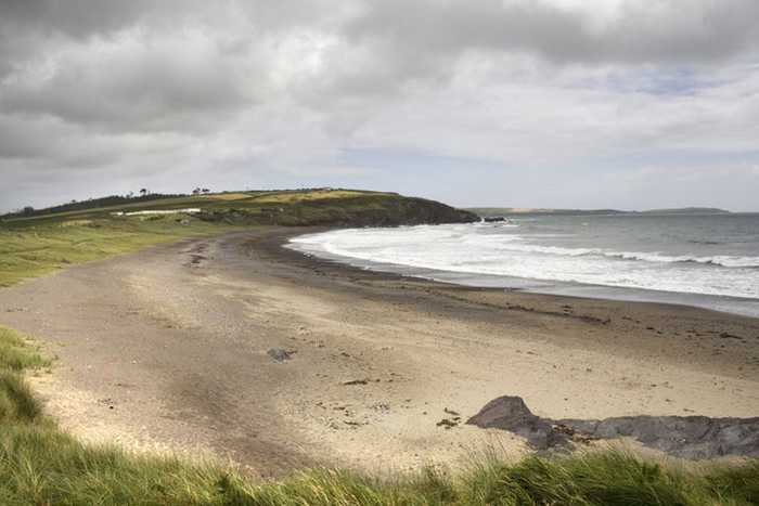
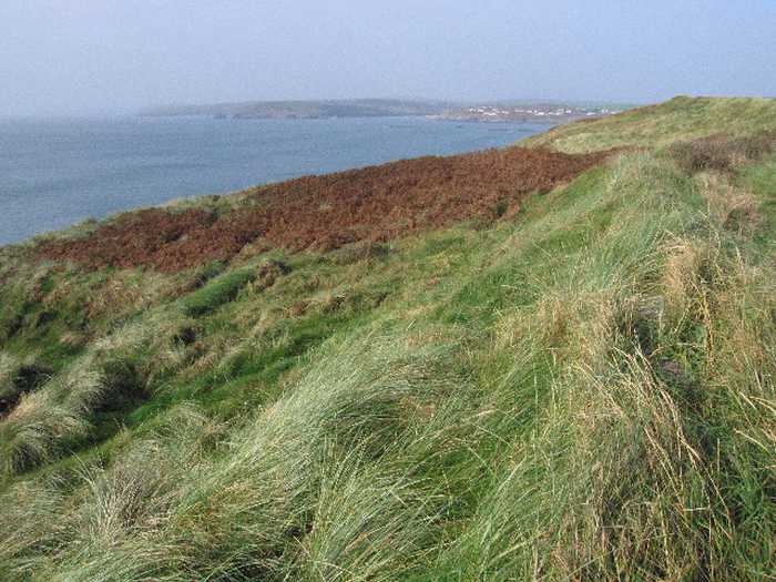
Owenahincha is a gently sloping sandy beach that is backed by sand dunes extending between 70m & 100m. However, it can experience very strong wave action and rip tides or strong currents. A picturesque cliff walk links the Warren Strand to Owenahincha. A Special Area of Conservation, Kilkerran Lake & Castlefreke Dunes (SAC 001061), lies approximately 1km east of the beach. While Owenahincha beach is frequented by limited numbers of surfers, windsurfers, canoeists, and anglers.
The beach is used by limited numbers of surfers, windsurfers, canoeists, & anglers.
Ownahincha Beach is located approx. 3km south east of the town of Rosscarbery in West Cork. The beach is situated at the north east of Rosscarbery Bay. The Beach is officially known as Little Island Strand on the Ordinance Survey Maps. The OS maps show Ownahinchy Strand to the west of Little Island Strand with a dune covered rocky outcrop separating the two beaches. Ownahincha is located in the Rosscarbery Bay Coastal Water Body (Waterbody Code SW_110_0000). The Ownahinchy River (Waterbody Code 20_1090) discharges to the sea to the west of the bathing water. The bathing area is approximately 500m wide & is approx. 0.1 km2 in area
Ownahincha is a sandy beach backing onto sand dunes. This is an exposed beach and the sea can be quite rough at times. The beach can be subject to very strong wave action & rip tides/strong currents.
Please help the next visitor by writing a few lines about the beach, are there toilets? Is it shallow? Is there a jetty or maybe a kiosk?
Beaches close to Owenahincha, Little Island Strand
Warren Beach is a serene, sandy beach with a gentle slope, facing south east and surrounded by sand dunes that stretch between 40m and 50m. The beach is nestled in a small bay, approximately 500m away from the coast, which offers some protection. The pNHA 001075, Rosscarbery Estuary proposed Natural Heritage Area, flows into Rosscarbery Bay, just southwest of the beach. Although frequented by a small number of surfers, windsurfers, canoeists, and anglers, the beach remains tranquil.
Red Strand is found near Clonakilty, Co Cork. The beach is sheltered and boasts stunning vistas of Galley Head lighthouse on the adjacent peninsula.
Inchydoney West Beach is a south facing, sandy beach located at the north east of Clonakilty Bay. It has gently sloping terrain and is prone to rough weather. The beach is backed by sand dunes and occasionally experiences large accumulations of sea lettuce. Muckruss Strand, a tidal lagoon and sand flats, is situated to the west of the beach. Inchydoney beach is a part of the Clonakilty Bay Special Area of Conservation and is also considered a proposed NHA (site code 000091).
Inchydoney East is a south-facing sandy beach with a 500m long bathing area and approximately 0.12km² of water for swimming.
Tragumna Beach is a serene, sandy beach situated on the north-east side of Tragumna Bay. It faces the south/south-west direction and has a gentle slope. The beach is protected by Drishane Island, which adds to its tranquility. It is located adjacent to the Lough Hyne Nature Reserve & Environs, a Special Area of Conservation and a proposed Natural Heritage Area (SAC, pNHA 000097). Additionally, it falls under the Sheeps Head to Toe Head Special Protection Area (SPA 004156). The beach is only utilized by a limited number of small boats.
Coolmaine Beach is currently closed for all aquatic activities due to dangerous currents resulting from storm damage. The beach is gently sloping and sandy, with a low rocky cliff to the south and rocky outcrops to the north. There are occasional accumulations of sea lettuce from the Argideen/Courtmacsherry Estuary, Garranefeen Strand and Coolmaine Bay. This beach is situated within the Courtmacsherry Bay Special Protection Area, Courtmacsherry Estuary Special Area of Conservation and proposed Natural Heritage Area. Although the beach is utilized by anglers, it is presently unsafe for swimming or any other aquatic activity.
Garrettstown Beach, a sandy beach with gentle slope, faces south and is bordered by rocky cliffs. The beach area is surrounded by Natural Heritage Area, Special Protection Area, and Special Areas of Conservation, though not a part of them. Despite being susceptible to rough weather, the beach draws anglers, walkers, surfers, and windsurfers to the area. Garrettstown Marsh lies north of the beach.
Garrylucas beach has a gentle slope and is surrounded by rocky cliffs. It faces southwest and is often exposed to harsh weather and rough seas. Sand dunes and the proposed Garrylucas Marsh Natural Heritage Area (pNHA 000087) are located to the north. The beach is utilized by anglers, walkers, surfers, and windsurfers.
Silver Strand is a south-west facing sandy beach with a gentle slope.
Cadogan's Strand is a 250m long sheltered beach near Schull town in Co Cork.