Please help the next visitor by writing a few lines about the beach, are there toilets? Is it shallow? Is there a jetty or maybe a kiosk?
Beaches close to Garnish
Derrynane, also known as Doire Fhíonáin, is a beautiful sandy beach located in the southwest region of Ireland. Facing the Atlantic ocean, it is susceptible to the westerly winds and waves. Along with its pristine sand, visitors can also enjoy the sand dunes and surrounding forests, wetlands, and grazing areas. Popular activities include swimming, surfing, windsurfing, canoeing, and angling. While the identified bathing water is about 160m long, the larger beach stretches from Abbey Island and continues eastward beyond Derrynane House.
Waterville beach borders Ballinskelligs Bay and is situated near the town. The beachfront has been altered to provide access to the rocky shoreline, a coastal path, and other amenities.
Baile an Sceilg is a protected beach situated beside the village of the same name. Horse Island shields it from the rough waters of the Atlantic, but it is exposed to winds from the south. The surrounding area is a mix of agricultural and tourist developments. The Ballinskelligs Bay and River Inny estuary are recognized as Special Areas of Conservation due to their unique ecosystems. The Kerry County Council Beach Bye-Laws, 2013 govern several activities on the beach. While the full extent of the beach measures 1km, only 400m is designated as a safe bathing area.
Trá na hUíne, situated on the beautiful Ballinskelligs Bay, is a sandy beach backed by an extensive sand-dune system. It is approximately 2km from the village of Waterville in south Kerry and features a south-westerly facing aspect. The beach is primarily used for swimming, walking, windsurfing, and fishing, and there is public car parking available at the southern end of the beach with a convenient concrete ramp leading on to the sand.
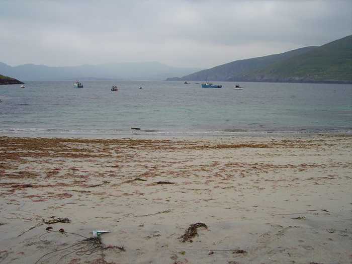
Reenroe beach, located between Waterville and Ballinskelligs, offers a beautiful coastal experience perfect for watersports. Its sandy bottom is ideal for those new to surfing.
Dooneen Pier on the Sheep's Head Peninsula in Co Cork is a deep water harbour.
Barley Cove Beach, situated in Barley Cove Bay, boasts a sheltered south-facing expanse of sand dunes. There is a large tidal lagoon (Lissagriffin Lake) behind it. Anglers, walkers, surfers, and windsurfers frequent this versatile location.
Galley Cove is in Co Cork's Crookhaven, featuring a 250m beach that forms part of a protected Special Area of Conservation (SAC) and National Heritage Area (NHA).
Ballyrisode Beach, situated at Toomore in Co Cork, is a sheltered, SAC and NHA designated sandy beach.
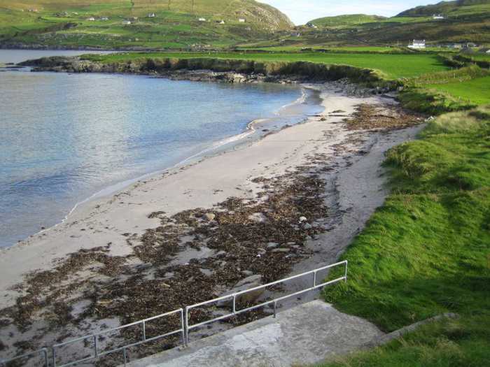
White Strand is a small sandy cove facing west, approximately 450m long. It is protected from the Atlantic's waves by Beginish Island. The surrounding land is mostly used for farming and consists of grassland. The area, including Valentia Harbour and the beach, is designated as Special Area of Conservation, while the land south of the beach is designated as Special Protection Area. Visitors enjoy windsurfing, canoeing, and fishing. Kerry County Council has restrictions in place for certain activities under the 2013 Beach Bye-Laws.