Bob Jones
Photo: Bob Jones CC BY-SA 2.0

Seafield, Quilty

Rating: 0.0/5 (0 votes)

  • Water temp(satellite):
  • 13.3°C
  • 2024-10-14

Seafield, Quilty is a beach in the county of Clare. During bathing season, a lifeguard is on duty. Parking near the beach. Dogs on lead allowed.
Seafield Beach is a peaceful sandy shore situated in a rural area of County Clare. It is only 3km from Quilty village, on the south-west coast. Swimming is the primary activity at the beach, thus restrictions are enforced for motorised watercraft, surfing, canoes, and kayaks in close proximity to swimmers. Horse riding and dogs are also prohibited from 11am to 6pm during the summer season, as per beach bye-laws in place.
FacilitiesFacilities and activities at Seafield, Quilty comprise of the following:•Designated swimming area•Lifeguard hut•Life rings•Emergency telephone located beside lifeguard hutVisitor NumbersQuilty village and surrounds has a resident population of 294 (2011, Census). In summer visitor numbers to the bathing area at Seafield, Quilty can elevate to 40-50 persons per day. ActivitiesBathing is the main activity at Seafield, Quilty. Clare County Council introduced Beach byelaws in May 2008 under Part 19 Local Government Act, 2001, & Local Government Act, 2001 (Commencement) Order 2006. Under these bye-laws the followingactivities are prohibited:•• Horse riding (between 11am and 6pm)•• Dog walking (between 11am and 6pm)•• Any use of motorised watercraft•• Surfing in the vicinity of swimmersMore details of the bye-laws can be found at http://www. clarecoco. ie/water-waste-environment/publications/clare-beach-bye-laws-2016-4183. pdf
The bathing area at Seafield, Quilty is located on the west coast of Clare. The designated bathing area is approximately 0.053km in size and extends 230m along the shoreline. The name of River Basin District is Shannon River Basin District. Seafield, Quilty is located in the Aughaveena Coastal Waterbody (Waterbody Code SH_28_852 Lower and SH_28_414Upper). The river Aughaveena discharges into this bay approx 1km south of the bathing area.

Weather forecast
Seafield, Quilty on the map
Report water temp:

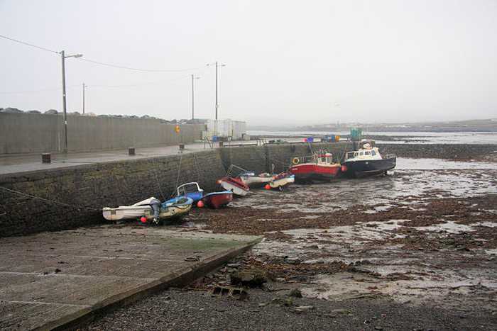
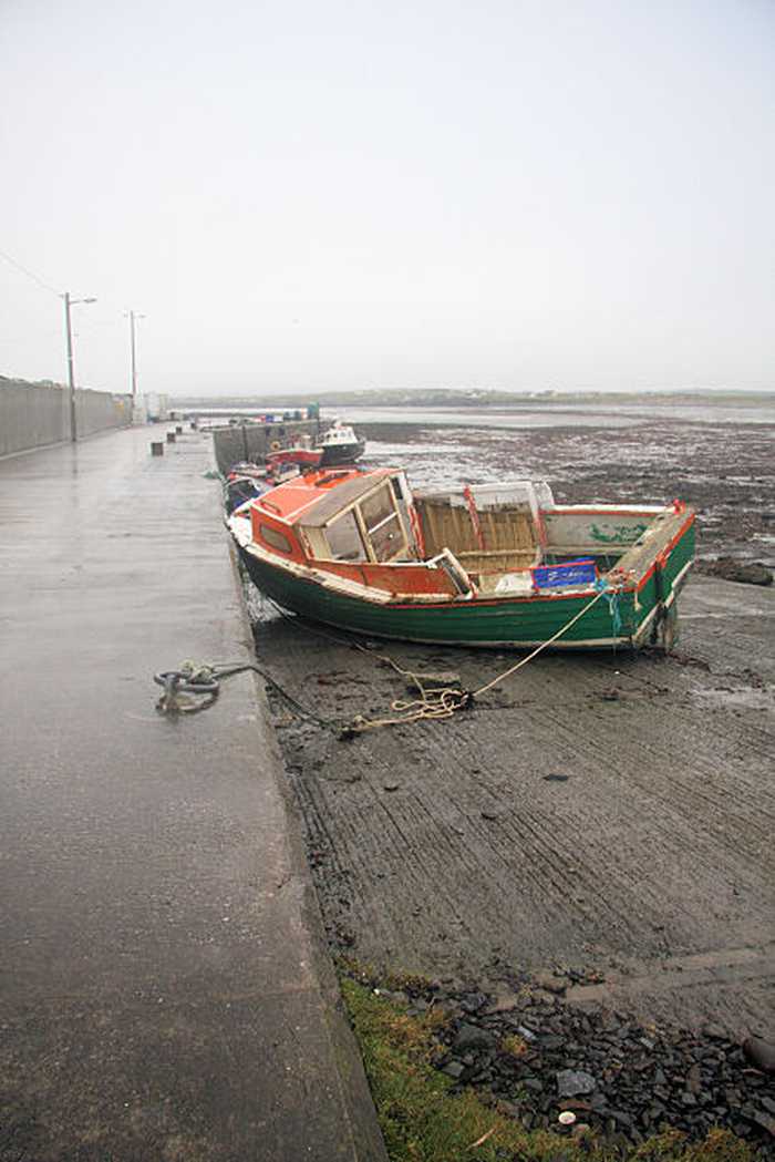
Photos near Seafield, Quilty

Bob Jones
Photo: Bob Jones CC BY-SA 2.0
Do you have a nice picture from Seafield, Quilty?
By uploading an image, you certify that you own the image and that it may be displayed on beachguideireland.com

Reviews of Seafield, Quilty

No reviews of Seafield, Quilty yet...
Please help the next visitor by writing a few lines about the beach, are there toilets? Is it shallow? Is there a jetty or maybe a kiosk?
What do you think of the beach?

Beaches close to Seafield, Quilty

Quilty ⟼ 2.9 km away
Quilty bathing area is in County Clare, on the southwest coast of Ireland, within the Shannon River Basin District.
Spanish Point ⟼ 5.6 km away
Spanish Point is a sandy beach located west of Milltown Malbay near Quilty to Lahinch road. It offers great views of the Atlantic sea at Mal Bay with a fascinating rocky shoreline and long rocks stretching into the waters. The place is home to diverse marine flora and fauna, including shellfish. Swimming and surfing are common activities while the use of motorised watercraft, surfing, canoes, and kayaks near swimmers is not allowed. A few restrictions apply, such as no horse riding or dogs allowed from 11am-6pm during summers under the beach bye-laws.
White Strand, Doonbeg ⟼ 7.5 km away
White Strand is a rural sandy beach situated on the south-west coast of County Clare. The semi-natural marine riparian zone is ideal for surfing, windsurfing, angling, and horse riding. However, motorised watercraft, surfing, canoes, and kayaks are restricted near swimmers. There are specific beach bye-laws, which prohibit horse riding and dogs between 11 am and 6 pm during the summer season.
White Strand, Miltown Malbay ⟼ 8.1 km away
White Strand is a small, sandy beach located in a narrow bay surrounded by rock formations. The presence of offshore reefs reduces wave action at the shoreline. The beach is home to various marine wildlife, vegetation, fish, and shellfish. Swimmers are protected from motorized watercraft, surfing, canoes, and kayaks. Seasonal beach bye-laws prohibit horse riding and dogs from 11 am to 6 pm.
Lahinch ⟼ 17.1 km away
Lahinch is a sandy beach with strong waves and currents, protected by a rocky barrier to prevent erosion. The bathing area is free of vegetation and popular activities include surfing, kite surfing, wind surfing, horse riding, and angling. Personal watercraft and fast power craft are not allowed. During the summer, beach bye-laws prohibit horse riding and dogs between 11am and 6pm.
Kilkee ⟼ 17.5 km away
Kilkee presents itself as a splendid crescent-shaped beach that displays brown-colored, inadequately sorted sand, and a mostly uniform altitude across its width. The predominant wave conditions in the area only allow a limited range of animal life to exist, primarily focusing on marine species. Nonetheless, the rocky shorelines flanking Kilkee offer an enticing prospect for those who aspire to explore rock pools, harboring a diverse range of wildlife. Swimming and sailing are among the several activities to engage in, while the utilization of watercraft, surfboards, canoes, and kayaks near swimmers is strictly prohibited. Furthermore, specific beach regulations exist that necessitate forbidding horse riding and dogs between 11 AM and 6 PM during the summertime.
Cappagh Pier, Kilrush ⟼ 19.8 km away
Cappagh beach, situated north of the pier, is a rocky shoreline with stones that can reach 30cm in size, limiting the presence of plants and animals. Nevertheless, the area hosts a diverse bird population and falls under the Lower River Shannon Special Area of Conservation. Cappagh beach offers activities such as swimming and bird watching, and its beach bye-laws prohibit horse riding and dog walking between 11am and 6pm during the summer season.
Carrigaholt ⟼ 26.3 km away
Carrigaholt Bay's western shore hosts its bathing area.
Littor beach ⟼ 26.5 km away
The Shannon river mouth features a sandy beach divided into 3 sections: Kylatallin to the West, Littor in the mid-section, and Currigane to the east-end.
Trá Poll na gCaorach Inis Oirr ⟼ 27.6 km away
This serene sandy beach is situated on the north-eastern shore of Inis Oirr in outer Galway Bay. It's a favourite spot among locals and can be reached via a tar road. Fishermen frequent the beach and it's conveniently located near the airstrip and lighthouse. It's just a 15-minute walk from the pier, offering breathtaking views of the Clare coastline and the picturesque countryside.
Beach Guide Ireland Source for water samples and information: the Environmental Protection Agency, users of the site and local municipalities.
Source for weather data: Met Éireann© (CC BY 4.0) Disclaimer: Met Éireann does not accept any liability whatsoever for any error or omission in the data, their availability, or for any loss or damage arising from their use.
Source of satellite-read water temperature: Copernicus Sentinel satellite data from the European Space Agency.