Please help the next visitor by writing a few lines about the beach, are there toilets? Is it shallow? Is there a jetty or maybe a kiosk?
Beaches close to Carrigaholt
Kilkee presents itself as a splendid crescent-shaped beach that displays brown-colored, inadequately sorted sand, and a mostly uniform altitude across its width. The predominant wave conditions in the area only allow a limited range of animal life to exist, primarily focusing on marine species. Nonetheless, the rocky shorelines flanking Kilkee offer an enticing prospect for those who aspire to explore rock pools, harboring a diverse range of wildlife. Swimming and sailing are among the several activities to engage in, while the utilization of watercraft, surfboards, canoes, and kayaks near swimmers is strictly prohibited. Furthermore, specific beach regulations exist that necessitate forbidding horse riding and dogs between 11 AM and 6 PM during the summertime.
The Shannon river mouth features a sandy beach divided into 3 sections: Kylatallin to the West, Littor in the mid-section, and Currigane to the east-end.
Ballybunnion North is a wide, exposed sandy beach that faces the Atlantic ocean with no notable vegetation. It has a concrete promenade along its rear, making it prone to rough conditions. The beach is located in Lower River Shannon (SAC 002165) and is suitable for activities such as swimming, walking, angling, and surfing. The bathing area measures approximately 250 meters in width.
Ballybunnion South is a beach that faces west onto the Atlantic ocean, making the water rough at times. A thin strip of vegetation stands between the beach and the road that links it to Ballybunnion town. The bathing water is located in the Lower River Shannon, site code SAC 002165, and the beach is approximately 250 m wide. It offers activities such as walking, swimming, surfing, and angling.
Cappagh beach, situated north of the pier, is a rocky shoreline with stones that can reach 30cm in size, limiting the presence of plants and animals. Nevertheless, the area hosts a diverse bird population and falls under the Lower River Shannon Special Area of Conservation. Cappagh beach offers activities such as swimming and bird watching, and its beach bye-laws prohibit horse riding and dog walking between 11am and 6pm during the summer season.
White Strand is a rural sandy beach situated on the south-west coast of County Clare. The semi-natural marine riparian zone is ideal for surfing, windsurfing, angling, and horse riding. However, motorised watercraft, surfing, canoes, and kayaks are restricted near swimmers. There are specific beach bye-laws, which prohibit horse riding and dogs between 11 am and 6 pm during the summer season.
Ballyheigue is a sandy beach facing west onto the Atlantic, with occasional rough conditions. Vegetation is scarce near the water, except for a part of the southern end which is backed by a sand dune system running for about 9km to Barrow. The beach is located near the Akeragh, Banna and Barrow Harbour Special Protection Area and Area of Conservation. Popular activities include swimming, walking, sailing, and surfing. The beach is 343m wide.
Seafield Beach is a peaceful sandy shore situated in a rural area of County Clare. It is only 3km from Quilty village, on the south-west coast. Swimming is the primary activity at the beach, thus restrictions are enforced for motorised watercraft, surfing, canoes, and kayaks in close proximity to swimmers. Horse riding and dogs are also prohibited from 11am to 6pm during the summer season, as per beach bye-laws in place.
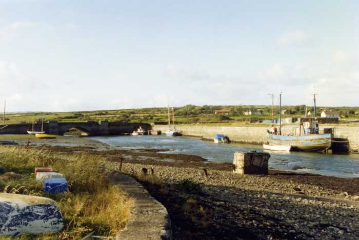
Quilty bathing area is in County Clare, on the southwest coast of Ireland, within the Shannon River Basin District.
Banna Bathing Water is situated in a rustic environment without any buildings on the sand dune system or promenade behind it. The beach is backed by a vast sand-dune system that stretches from Ballyheigue to Barrow, with minimal vegetation growing in the water. The area is within the Akeragh, Banna, and Barrow Harbour Special Protection Area and Special Area of Conservation. The activities allowed include walking and swimming, and the width of the bathing area is around 445 meters.