Please help the next visitor by writing a few lines about the beach, are there toilets? Is it shallow? Is there a jetty or maybe a kiosk?
Beaches close to River Barrow Clashganny
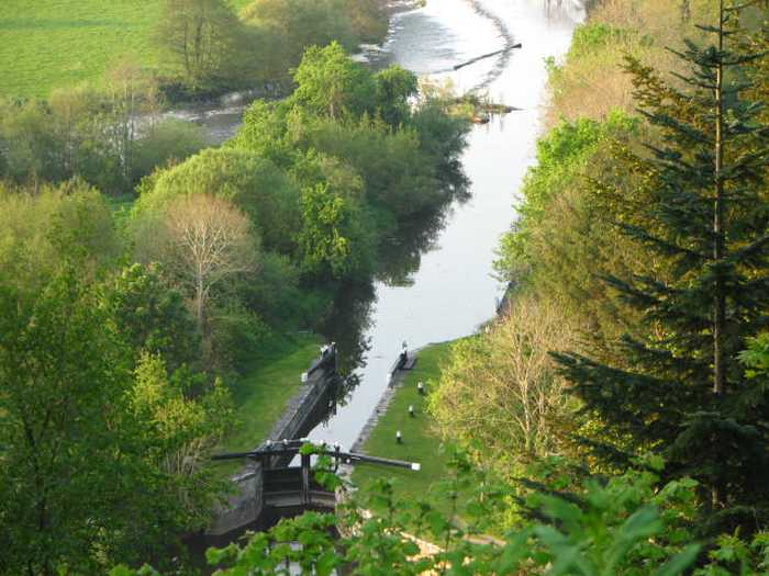
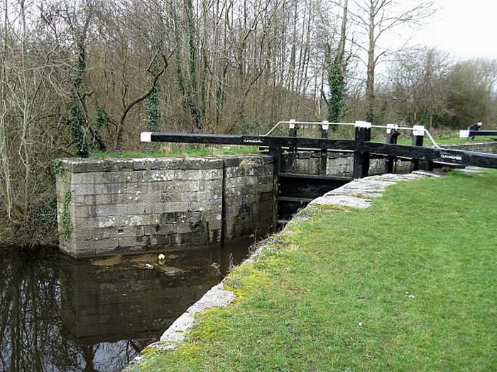
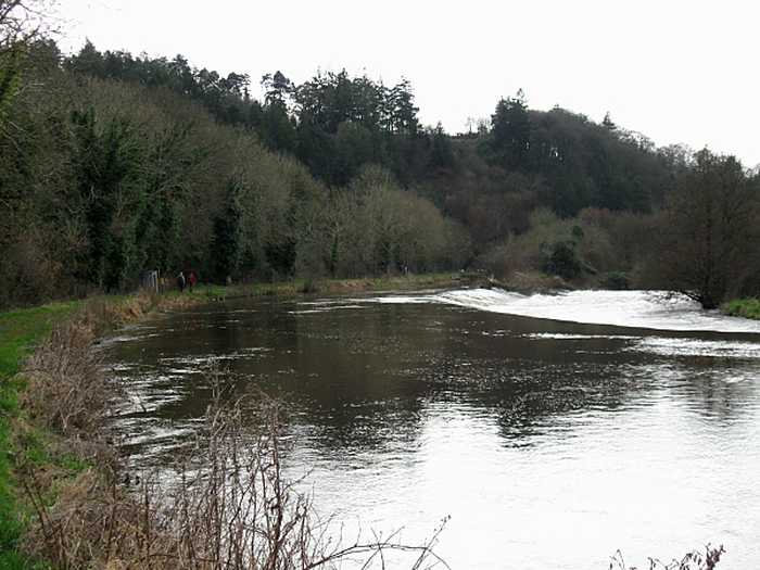
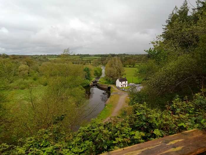
River swimming spot at Bagenalstown accessible from the riverside track. The River Barrow, which is a navigation river with weirs and lock gates at several points, offers direct access to the swimming area from a nearby car park/picnic spot. This location, widely popular with river water swimmers and triathletes, is an outstanding open water swimming site.
Duncannon beach boasts a peaceful atmosphere and a relatively gentle slope of firm sand. The sand dunes, stretching between 5m and 100m to the north, lack significant vegetation except for the rare Wild Sage (Salvia verbenaca) listed in the Irish Red Data Book. A popular sand sculpting festival occurs in the summer, complemented by attractions including a maritime museum, cockleshell art center, artist studios, café, and craft shop. The beach accommodates limited watersports, such as surfing, windsurfing, and canoeing. Enjoy roughly 1.0 km of pristine bathing area encompassing approximately 0.2 km².
Booley Bay beach, situated along the Duncannon to Hook Head road, offers a tranquil and secluded experience with its golden sand. Car parking is available on the side of the access laneway.
Cullenstown beach faces south and is a sandy beach located on the western edge of the River Muck's entrance to the sea.
Grange is a remote beach near Fethard on Sea located on the Hook Head peninsula. Parking is available on the roadside.
Woodstown Beach is a lengthy and sandy beach bordered by private wooded areas. It is tidal and stretches up to one kilometer during low tide, revealing a vast and level beach.
Ballinesker is a serene rural beach with fine soft sand and a gentle slope. Wooden walkways may be covered with sand due to the wind. The beach is protected by sand-banks and sand dunes extend up to 70m behind the beach. However, there is no significant vegetation growth in the waters near the beach. It's popular for fishing and used by few surfers, windsurfers, and canoeists. The bathing area spans around 1 km with an area of 0.2 km².
Curracloe is a serene, rural beach with fine, soft, wind-blown sand and gentle slopes. It features wooden walkways that sometimes get covered by sand. Its sand dunes extend between 100m to 300m westward, while also being part of The Raven Special Protection Area that's crucial for bird conservation and is included in the Wexford Slobs and Harbour complex. It's a popular fishing spot and is sometimes used by a small number of surfers, windsurfers, and canoeists. The bathing area extends about 1 km in length and covers 0.2km².
Culleton's Gap is situated one mile from Curracloe Co Wexford, forming part of the sandy Curracloe stretch overlooking Wexford Bay and the Irish Sea towards the east. It shares borders with Raven Nature Reserve, the North Slob Land and Wild Fowl Reserve towards the west.
Baginbun is a sandy beach situated on the Hook Peninsula. It faces east and is located 2km south of Fethard village. During low tide, rocks can be seen on the mostly gently sloping beach.